Locate a Point
Press Clear to clear the previous measurement result.
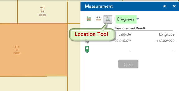
Activate the Location Tool.
The default Coordinates are Decimal Degrees.
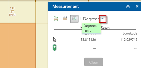
Click on the down arrow.
You can show locations in Decimal Degrees or Degree, Minutes, Seconds (DMS)
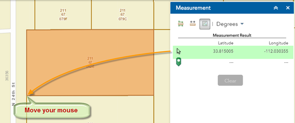
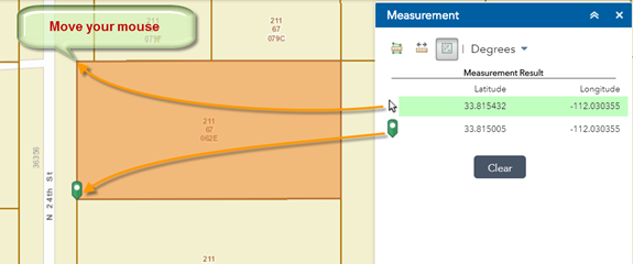
Move your mouse around.
Notice how the Latitude/Longitude values update in real time.
The Latitude/Longitude values are shown in Decimal Degrees with 6 decimal places.
Move your mouse over the lower left corner of the Parcel.
Latitude = 33.815005
Longitude = =112.030355
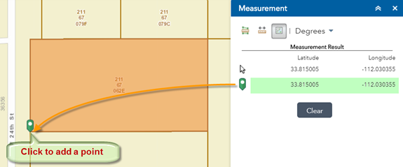
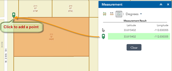
Click once to add a point on the map.
The location of this point is displayed in Decimal Degrees.
Move your mouse over to the upper left corner of the Parcel.
Notice how the Coordinates update as you move your mouse. It is tracking the location of your cursor.
However, the Coordinates of the previous point that you entered remains static in the lower readout.
Click to add a point over the upper right corner.
Notice how the lower readout shows the location of this new point.
Essentially, you get two readouts:
The upper readout continuously tracks the location of your cursor.
The lower readout gives the location of the last point you clicked on the map.