Pictometry Widget
Close the Google Maps Widget.
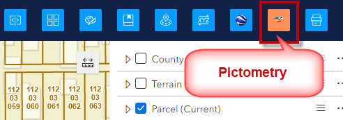
Open the Pictometry Widget.
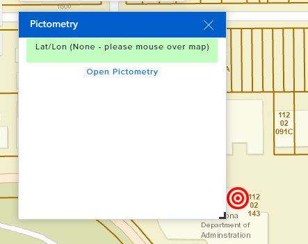
You will see this note:
Lat/Lon (None – please mouse over the map).
Move your mouse over the map until you see a Lat/Lon readout.
Hover your mouse over the Open Pictometry Link.
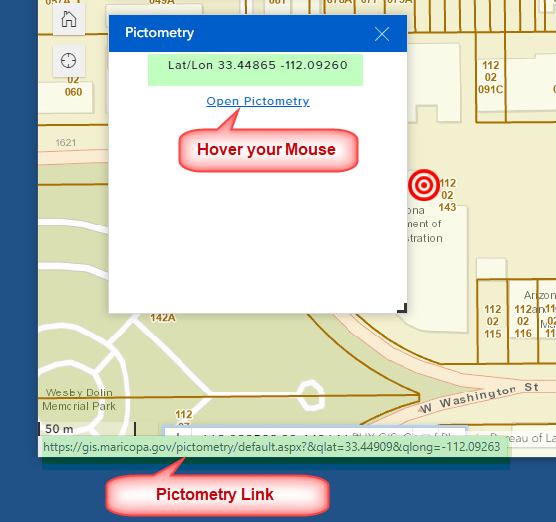
Make sure you see the Pictometry Link in the Status Bar below.
Click on the Open Pictometry Link.
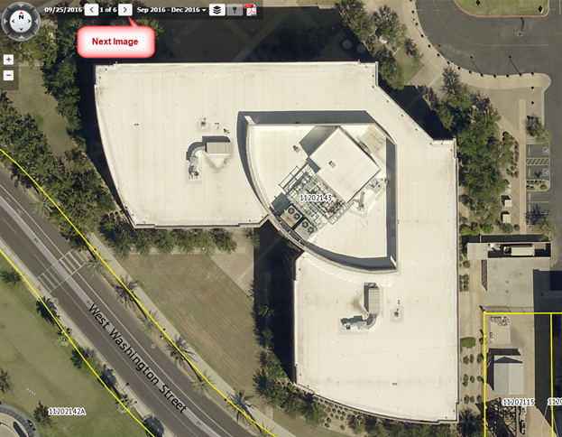
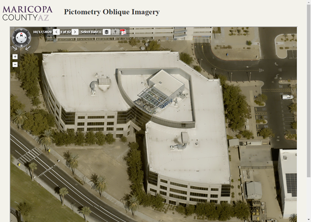
This opens a separate Pictometry Window displaying high-resolution oblique imagery.
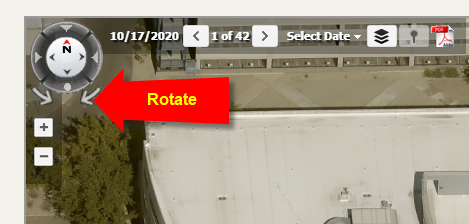
You can Rotate the image.
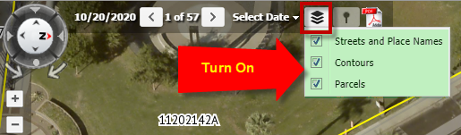
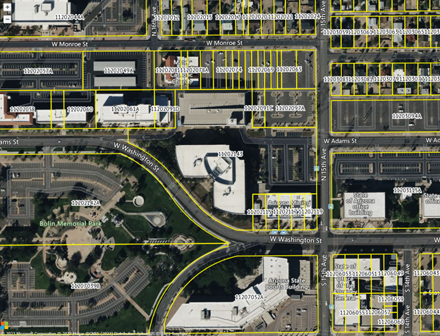
You can turn on the Streets, Contours and the Parcels layer.
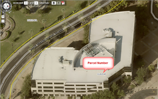
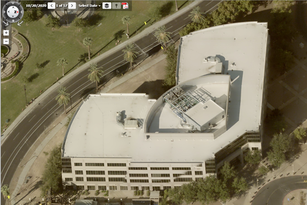
You can zoom in and out.
You can view the imagery from a specific year.
Select 2016 Sep – 2016 Dec
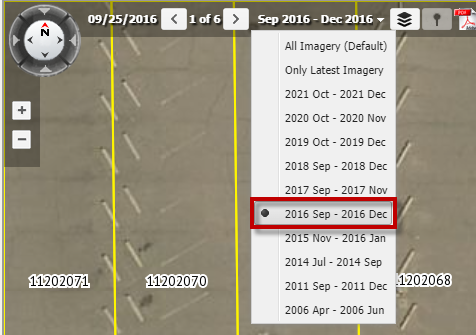
There are 6 images available for 2016.
Press use the forward and back arrows to browse through these images.