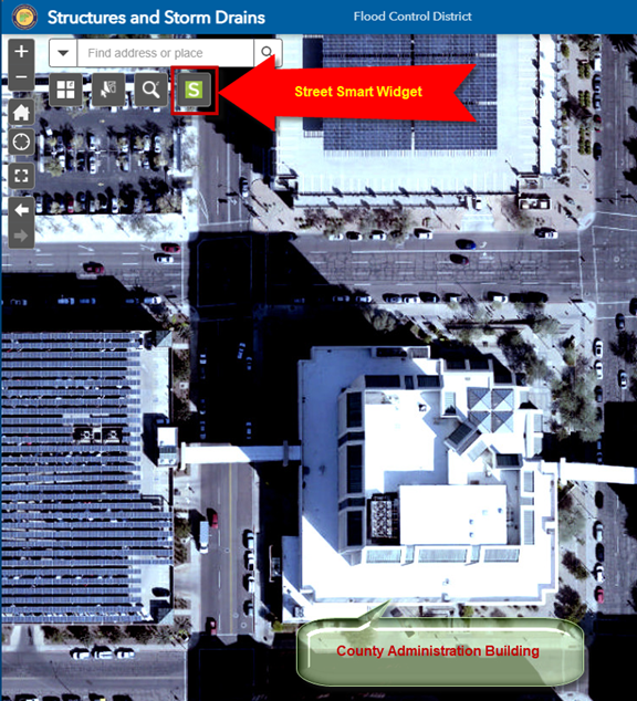
Street Smart Widget
Refresh the Web App.
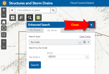
Close the Enhanced Search Widget
Enter 400 W Jefferson in the Search Widget Text Box.
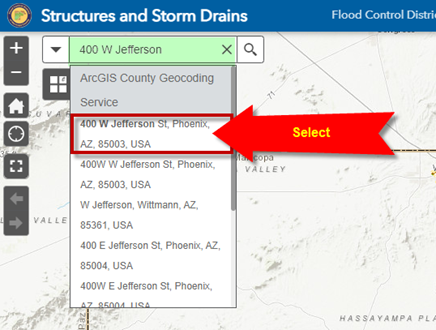
Select 400 W Jefferson St, Phoenix, AZ, 85003, USA from the drop down list.
The map zooms to the County Administration Building.
Open the Street Smart Widget
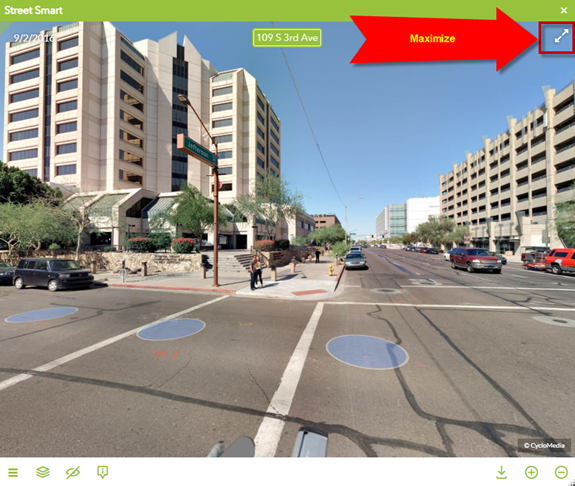
If you are zoomed in close enough you will see the blue circles along the streets.
Each blue circle represents where a 360-degree image was taken.
Pay special attention to the green circle. The picture within the Street Smart widget corresponds to the 360-degree view taken at this green circle.
Furthermore, the green triangle touching this green circle indicates the View Direction.
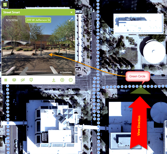
Click on another blue circle to activate another 360-degree image.
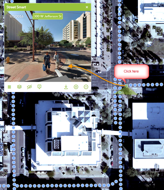
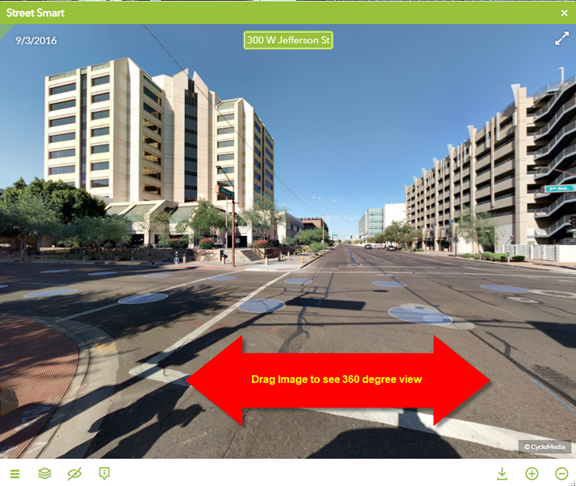
To change the view direction, drag the image horizonatally.
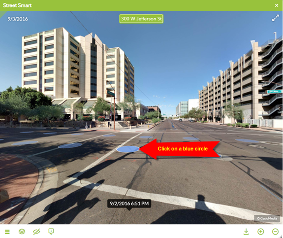
You can advance to another 360-degree image by clicking on any blue circle on the image itself.
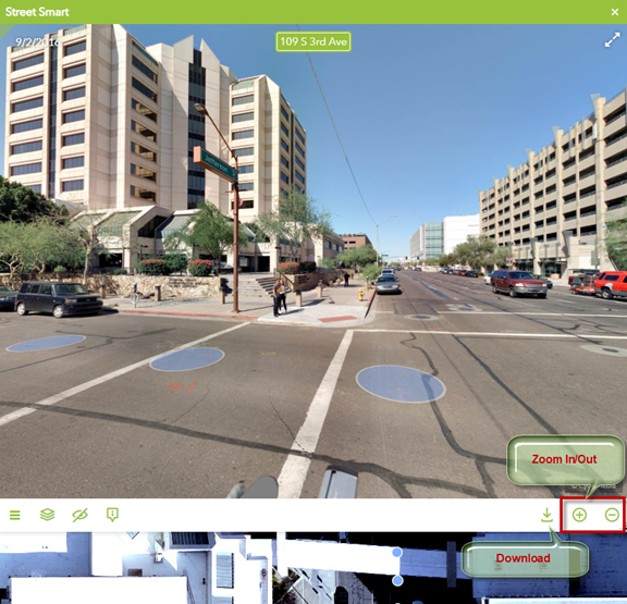
You can use the Zoom Tools to Zoom In and Out.
You may also download the current image as Panaroma.png
You can maximize the Street Smart Window to see more details.
