Basemaps Widget
Refresh the Web App.
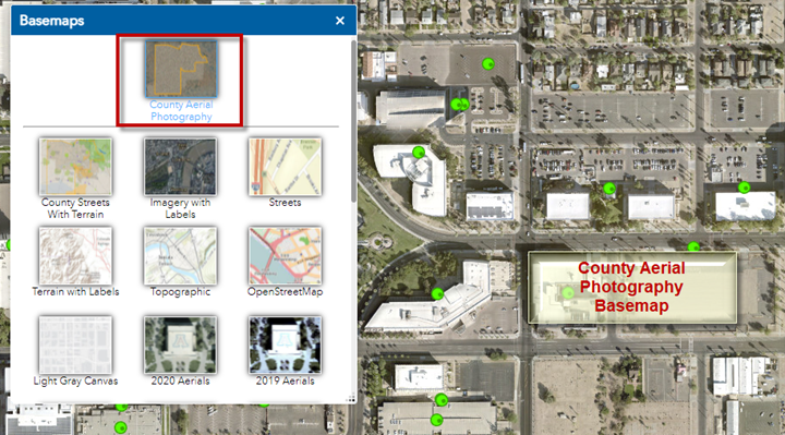
Open the Basemaps Widget.
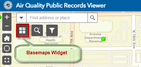
This opens the Basemap Gallery.
The Active Basemap is shown at the top.
You are viewing the Streets Basemap.
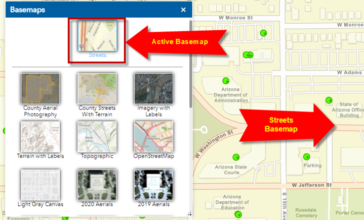
Switch to the County Aerial Photography Basemap by clicking on it.
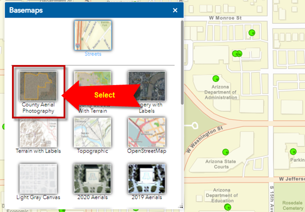
You are now viewing the County Aerial Photography Basemap.
It is a mosaic of the best available Aerial Photography of Maricopa County.
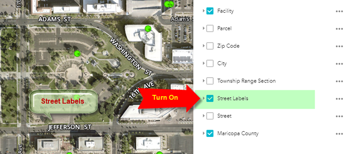
Notice, that there are no Street Labels.
Turn on the Street Labels Layer in the Layer List Widget.
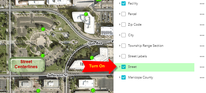
Alternatively, you can turn off the Street Labels and turn on the Street Layer.
This will show the Street Centerlines along with the Street Labels.
The Basemaps Widget allows you to see how things have changes over the years.
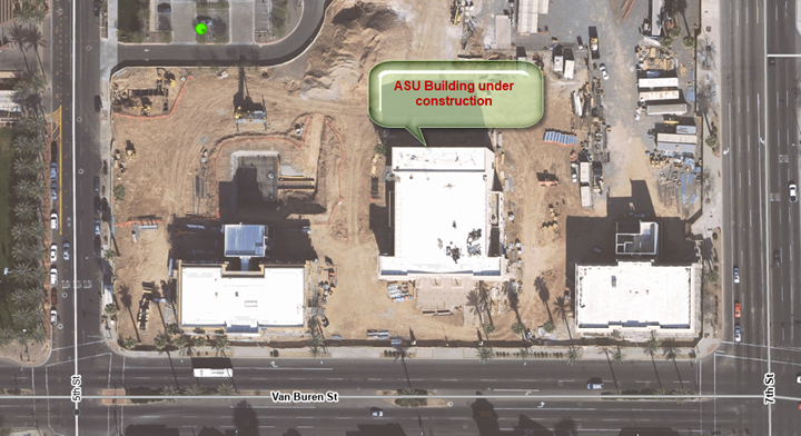
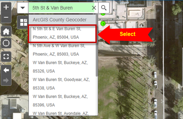
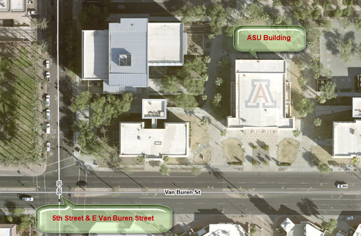
Use the Search Widget to zoom to the intersection of 5th St & Van Buren
Pay attention to the ASU Building
Scroll down the Basemap Gallery and select the 2006 Aerials
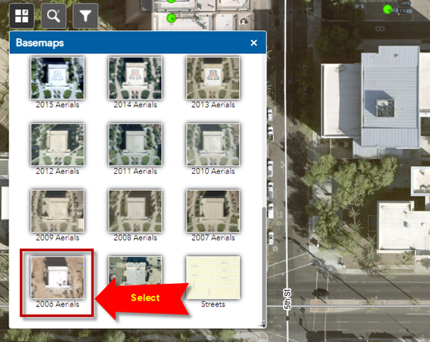
You could see the ASU building under construction.