Refresh the Web App.
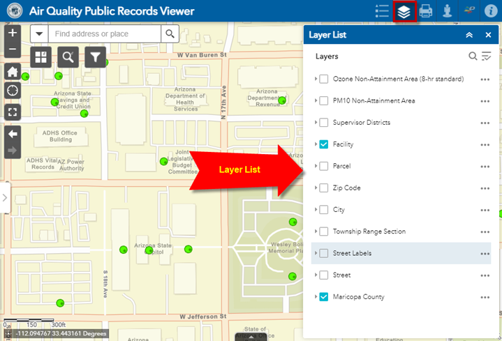
The Layer List Widget shows a list of all data layers available to you.
It allows you to set which data layers you want to view on the map by checking them on or off.
Note: If a Layer Name is greyed out it means you are zoomed beyond the scale threshold of visibility.
Keep zooming in till the Layer Name turns black.
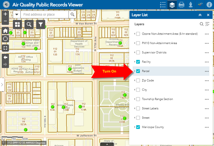
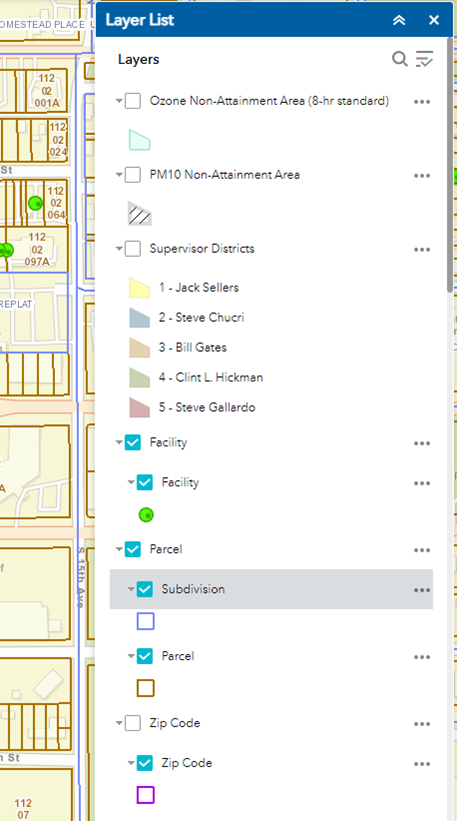
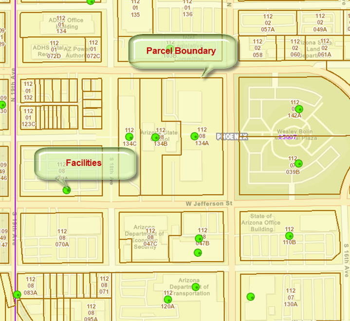
Check the Parcel Layer to turn it on.
The Parcel boundaries are drawn in brown.
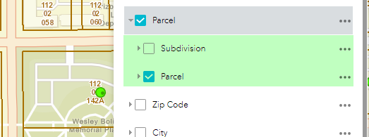
Expand the Parcel Layer.
The Parcel Layer Group has two sub layers:
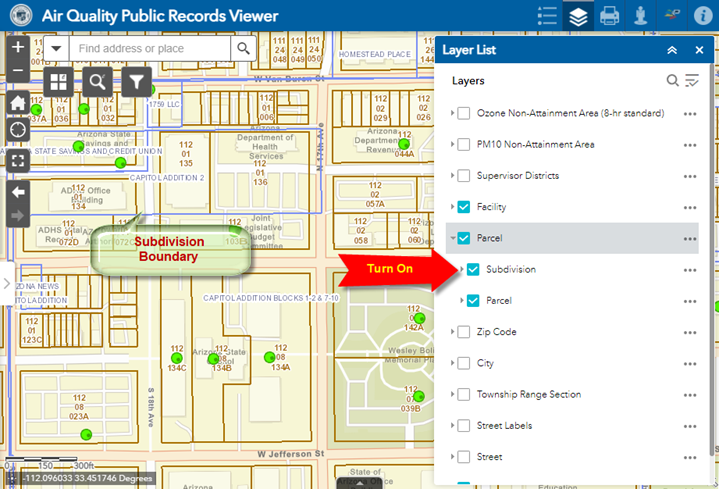
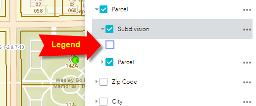
Turn on the Subdivision Layer
The Subdivision boundaries are drawn in blue.
Expand the Subdivision Layer.
This reveals the Legend of the Subdivision Layer.
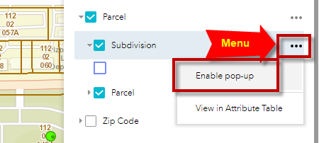
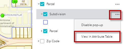
Expand the Subdivision Menu.
Click on Enable pop-up
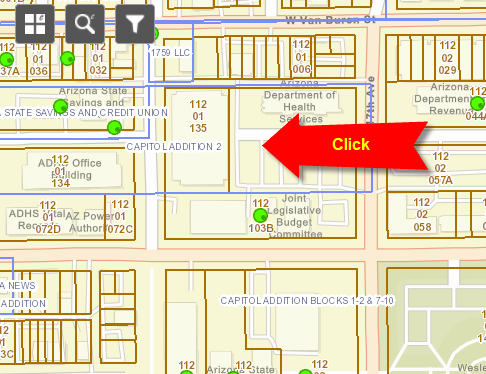
Click on any Subdivision within the map.
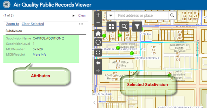
The selected Subdivision is highlighted in cyan.
The Subdivision Attributes are displayed in the side panel.
Expand the Subdivision Menu and select View in Attribute Table
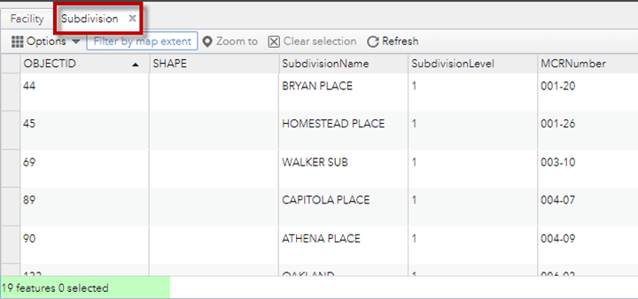
The Attributes of the Subdivision Layer are now displayed in the Attribute Table.
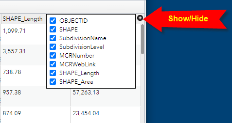
You can select the Items you want to be displayed.
Click on the Show/Hide Items Tool on the right of the Attribute Table.
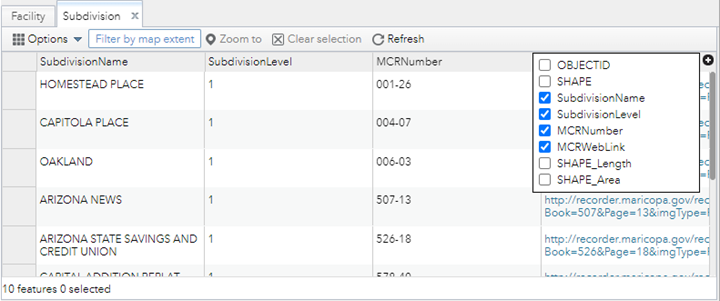
Uncheck these Items:
The Attribute Table now looks cleaner.
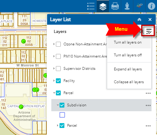
Expand the Layers Menu on the top
You have option to:
Select Expand all layers to see the sub layers and their symbology.
The visibility of the Layers is Scale Dependent.
This means you can only see the layers within a certain scale threshold.
This is done intentionally to reduce excessive map clutter.
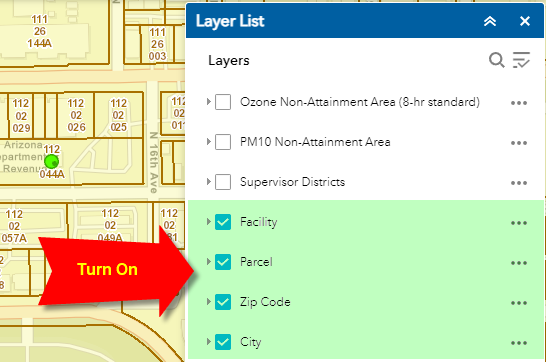
To see how this works, refresh the Web App and turn on the following layers:
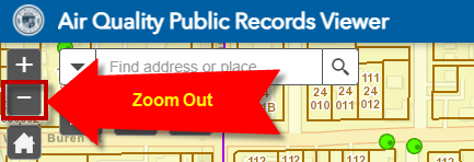
Click on the Zoom Out Tool to gradually zoom out.
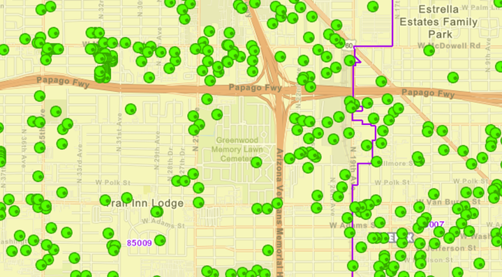
At the very beginning all the layers would be visible.
As you zoom out, the Parcel Boundaries will disappear.
Next, the green circles representing the Facilities will disappear.
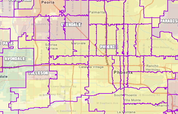
Next, the City Boundaries will disappear leaving the purple Zip Code boundaries.
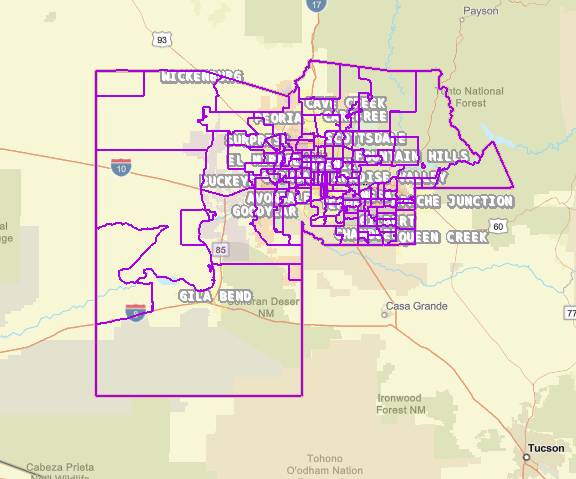
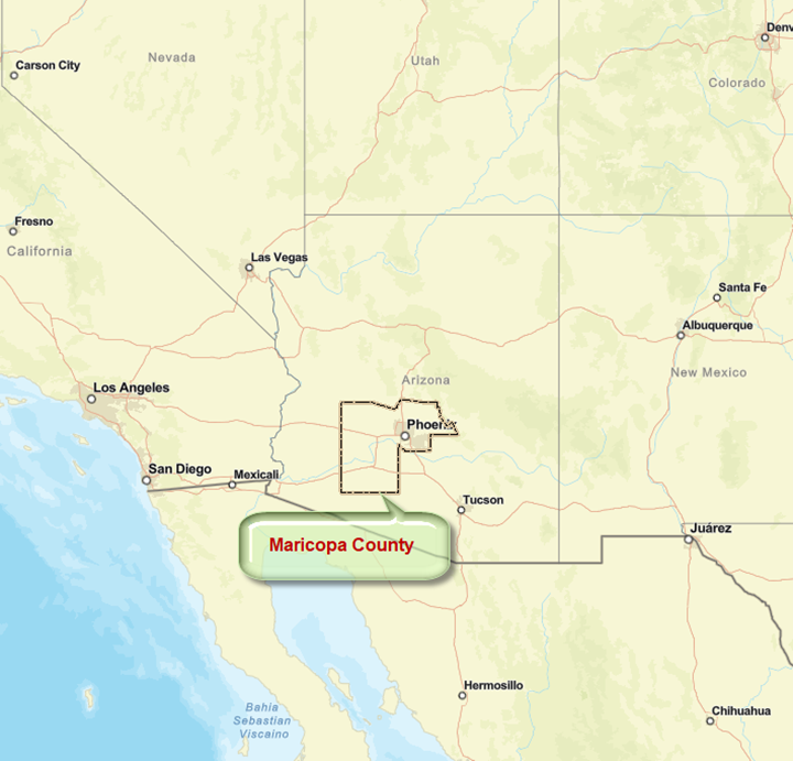
Finally, you will be left with just the Maricopa County Boundary.