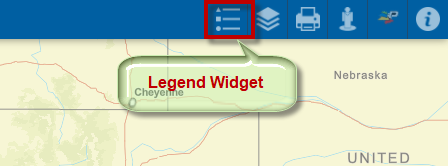
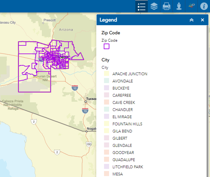
Legend Widget
The Legend Widget displays the Legend of the data layers.
The Legend is dynamic. It would only show the layers that are visible on the map.
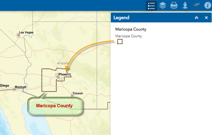
When you are zoomed all the way out, the map only shows the Maricopa County Boundary.
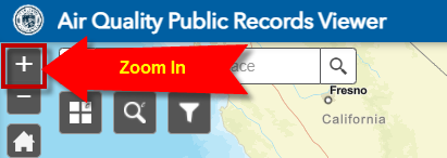
Use the Zoom In Tool to progressively zoom in.
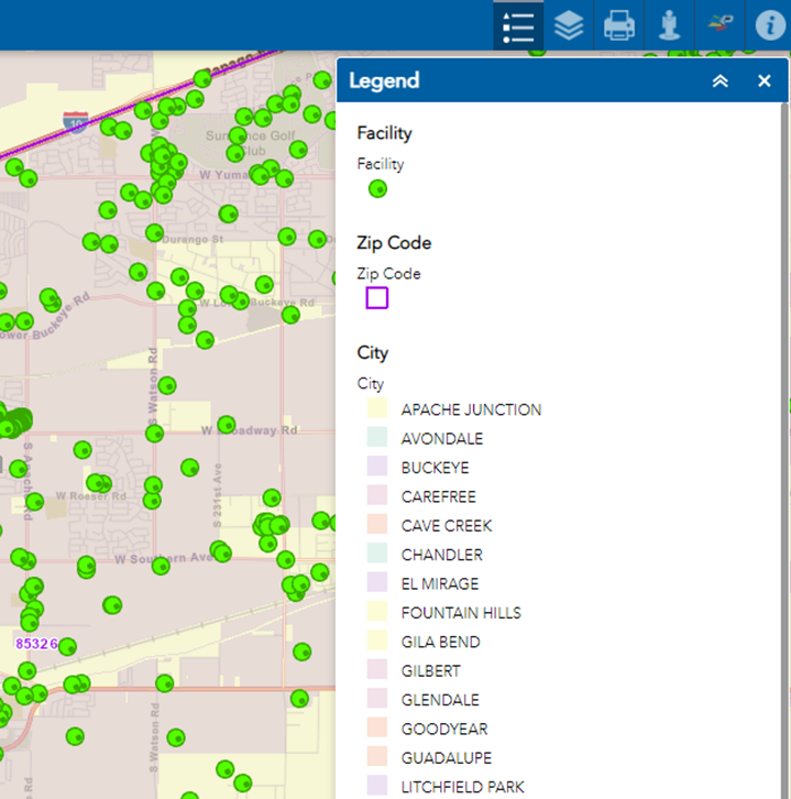
The Legend for the Zip Code and City layer would appear.
Zoom in closer.
The Legend for the Facilities layer would appear.