It is possible to overlay any two Basemaps from the Basemaps Gallery.
Refresh the Web App.
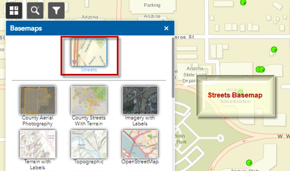
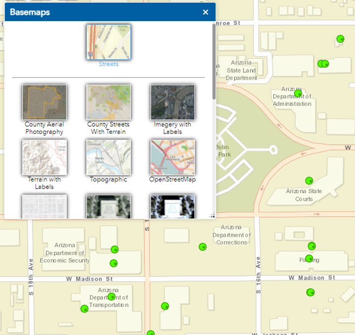
The Streets Basemap appears as the default.
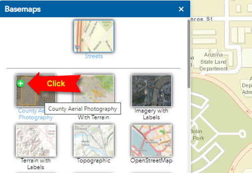
Let’s say you want to overlay the County Aerial Photography over the Streets Basemap.
Hover over the County Aerial Photography Basemap and click on the Green Plus Icon that appears.
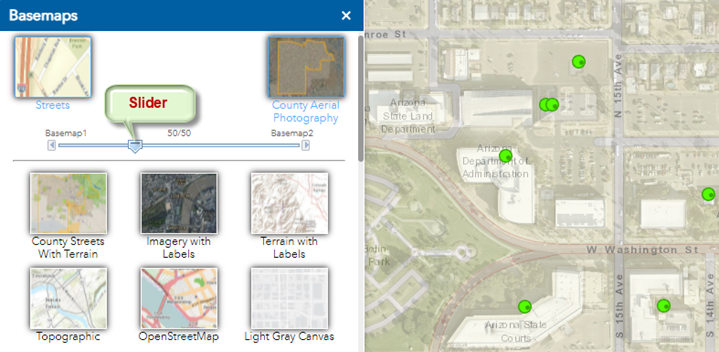
You can adjust the Transparency Slider between the two Basemaps.
Hover over either the Streets or the County Aerial Photography Basemap.
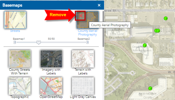
You can remove any of these two Basemaps by clicking on the red X icon that appears.
Remove the County Aerial Photography Basemap.
You are back to the Streets Basemap