Notice, there is no panning tool.
Why is that?
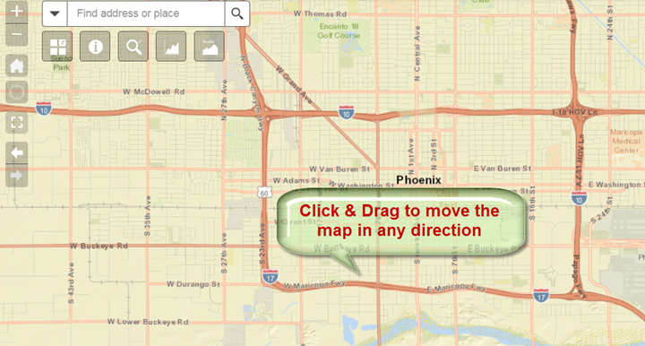
The Panning mode is always active by default, unless overridden by an active drawing tool.
All it takes to pan a map is to click and drag the map in any direction.
If you are using a touch screen, Tablet or Smartphone, you can use a single finger to drag the map.
You can pinch to zoom using two fingers. It is very intuitive.