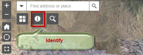
Open the Identify Widget.
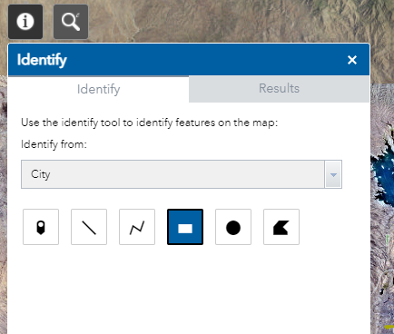
This is how the Identify Widget appears:
The default Identify Layer = City
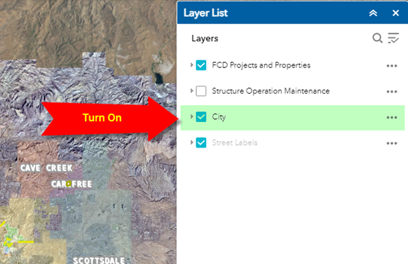
Before you can identify any Layer, you must turn on the corresponding Layer in the Layer List Widget.
Turn on the City Layer.
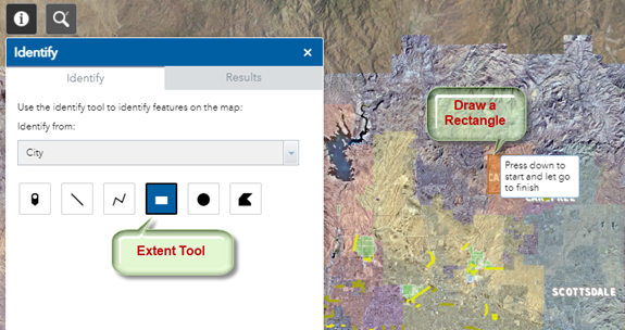
The default selection tool is the Extent Tool.
Drag a rectangle on the map to select a City.
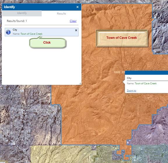
The selected City is highlighted in orange with a blue outline.
Click on the result.
The map zooms to the Town of Cave Creek.
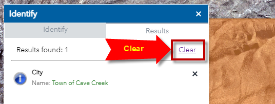
Press Clear to clear the result
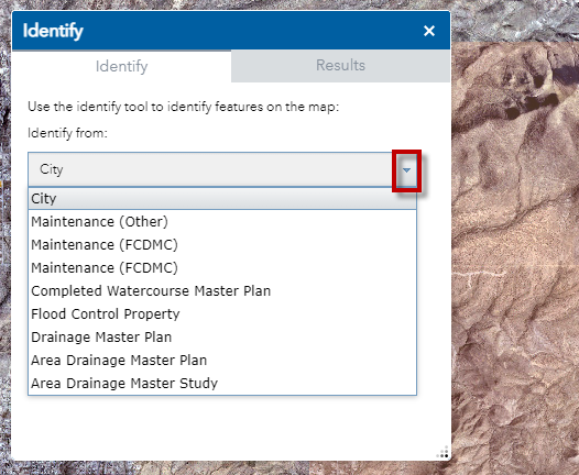
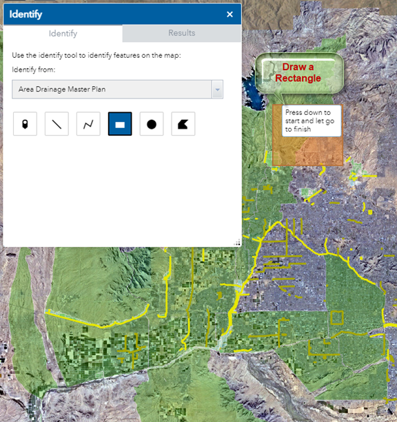
Open the Identify Tab
Click on the down arrow. You will see a list of Layers that you can identify.
You are going to identify the Layer = Area Drainage Master Plan
Select the Layer = Area Drainage Master Plan
Before you begin, remember you must turn on this layer in the Layer List Widget.
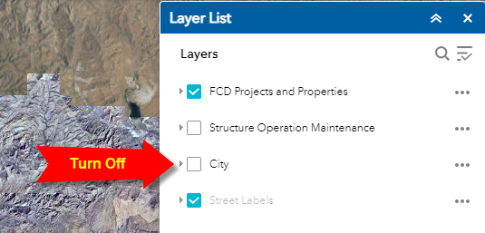
Turn off the City Layer to remove the clutter.
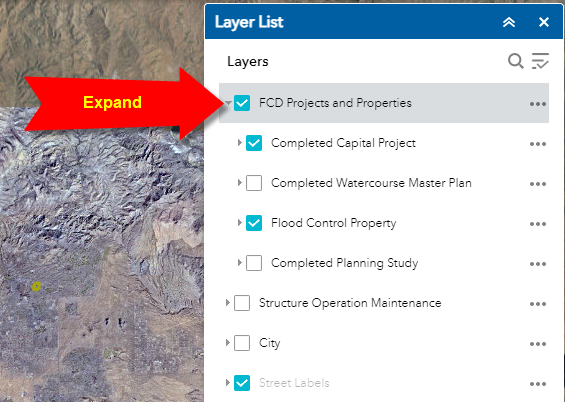
Expand FCD Projects and Properties
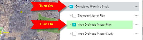
Turn on and Expand Completed Planning Study.
Turn on the Area Drainage Master Plan.
Draw a rectangle on the map to select the Area Drainage Master Plan Layer represented by the green polygons.
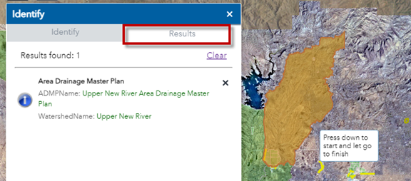
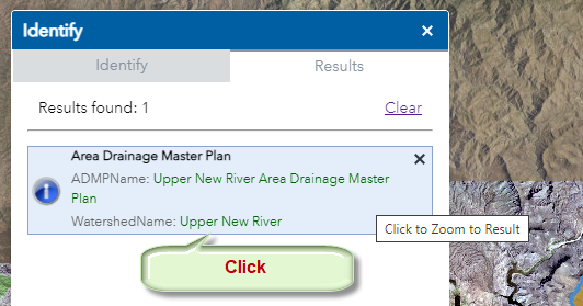
The Results Tab will show what you have selected.
Click to Zoom to the Result
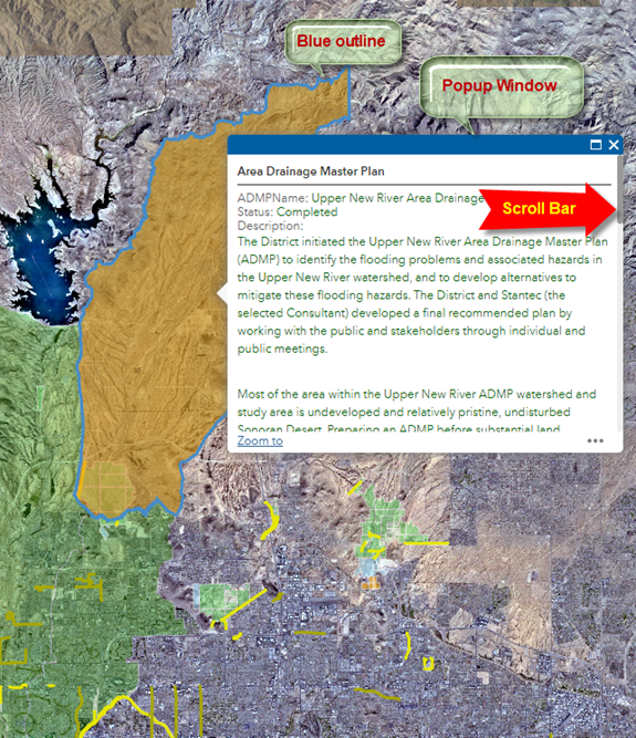
The map will zoom to your selected feature.
The selected feature will be highlighted in orange with a blue outline.
A Popup window will appear showing the attributes.