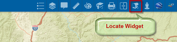
You can use the Locate Widget to locate a point on the Map by its coordinates, or by entering a street address. You may also click on any street on the map and find the possible street address.
Open the Locate Widget.
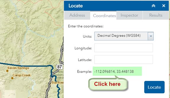
You can locate a point by entering the Latitude/Longitude values in Decimals Degrees in the WGS 1984 Datum.
Click on the example coordinate pair.
This auto populates the Latitude/Longitude fields.
Note: You must use 6 decimal places for accuracy.
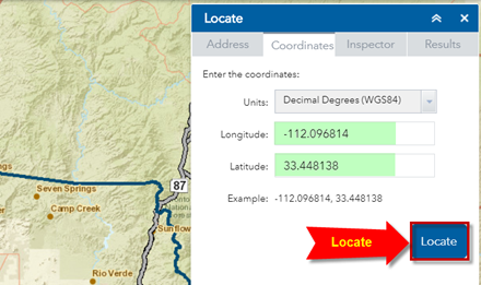
Press Locate.
The map zooms to the Arizona State Capitol building.
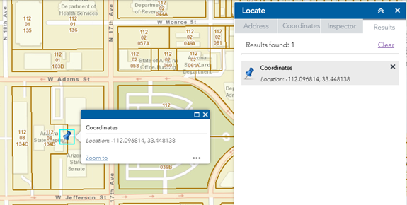
Press Clear.
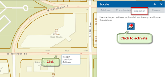
The Address Inspector Tool allows you to find the approximate street address when you click on any street.
Open the Inspector Tab.
Click to activate the Address Inspector Tool.
Click to add a point on any street.
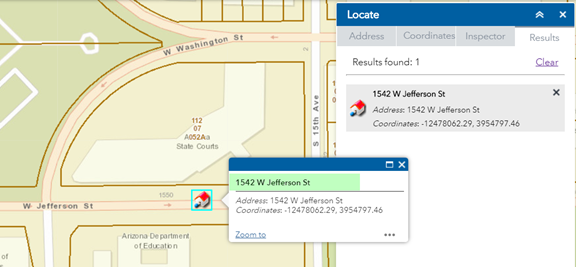
The approximate Street Address at this point = 1542 W Jefferson St.
The approximate house number 1542 is derived through interpolation.
If you click on a different point on this street, the house number will change.
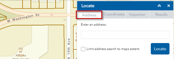
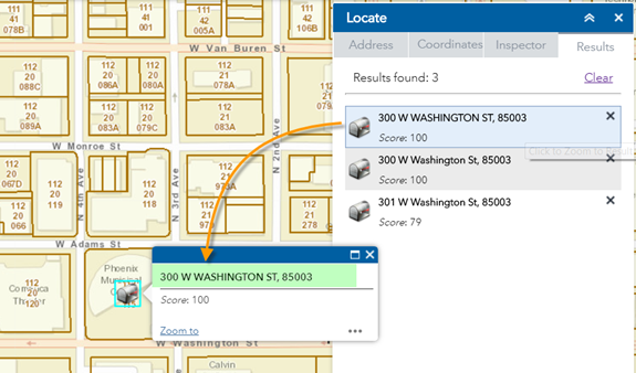
You can search for any Address in Maricopa County.
Open the Address Tab.
Enter the Street Address followed by the 5 digit Zip Code.
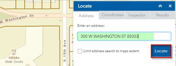
300 W WASHINGTON ST 85003
Press Locate
The map zooms to the Address = 300 W WASHINGTON ST 85003
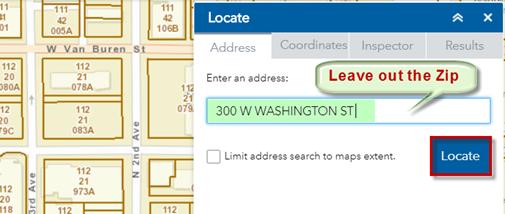
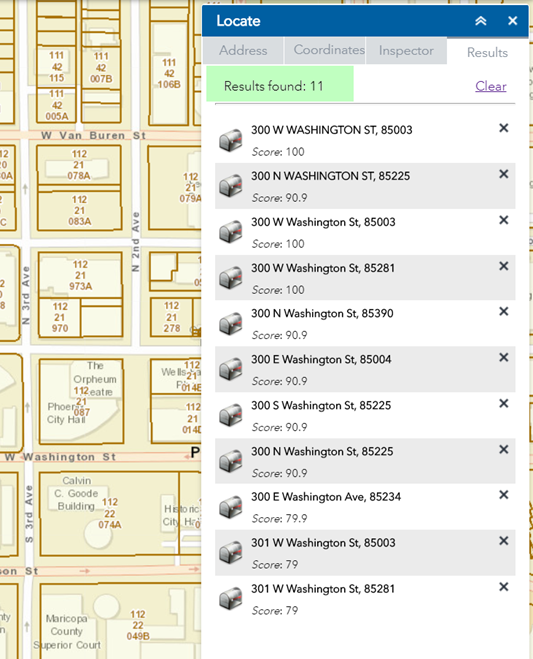
If you leave out the Zip Code, you will get a long list of possible matches.
Press Locate
There are 11 possible matches.
The Address Search in the Locate Widget uses the Maricopa County Geocode Service.
It looks at the Street Address and the 5 digit Zip Code.
It ignores the City.
Do not include the City.